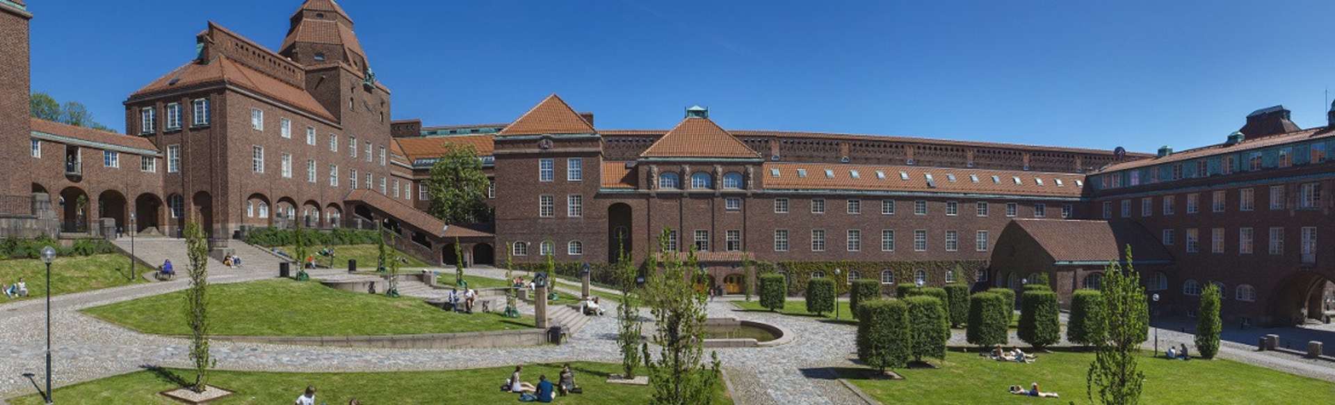
KTH Royal Institute of Technology
MSc Transport and Geoinformation Technology
Stockholm, Suecia
Máster en Ciencias (MSc)
DURACIÓN
2 años
IDIOMAS
Inglés
PASO
Tiempo completo
PLAZO DE SOLICITUD
FECHA DE INICIO MÁS TEMPRANA
Aug 2026
TASAS DE MATRÍCULA
SEK 360.000 *

FORMATO DE ESTUDIO
En el campus
* non-EU/EEA/Swiss is 342,000 SEK.
Functional and environment-friendly transport systems are vital in a sustainable society. Students gain expertise in transport and geoinformation technology and learn how to plan, build and maintain advanced transport systems. Graduates blend practical data collection and modelling skills with an interdisciplinary understanding of transport and geoinformation that lead to job opportunities in various sectors.
Transport and Geoinformation Technology at KTH
The master's programme combines two closely related aspects of the built environment: transport systems and geoinformation technologies. The programme enables you to either specialise in one of these main subjects or develop an individual interdisciplinary study plan tailored to your unique background and interests. The recommended courses form a foundation for both subject areas, and you can choose a subject area by selecting the most appropriate sequence of elective courses. Most courses combine interactive lectures with laboratory work. Many also include an in-depth semester project. The courses make use of modern data collection instruments and quantitative modelling and processing software.
In the final semester degree project, students apply their acquired knowledge and skills in solving scientific problems in the main subject areas of the programme. You conduct independent investigations characterised by critical analysis and synthesis; they learn to analyse, formulate and define scientific problems, find and evaluate possible solutions and present the results in a thesis. In addition, you will gain practical training in scientific communication and presentation, both orally in seminars and written form. You can carry out the degree project at KTH or in a company or organisation outside the university. The topic is developed by you alone or together with supervisors.
Transport systems
Transport systems deal with the movement of people and goods across space and the socio-technical systems that support that movement. Skilled transport engineers and planners must combine elements of engineering, planning, economics, and systems analysis, to guide how transport systems should be designed, built, operated, and evaluated. As a specialist in transport, you will learn how to analyse complex transport networks in which the goal is for people to carry out their daily activities in ways that support economic activity while minimising environmental impacts.
To grapple with the complexity of modern transport systems, transport planners and engineers need a high level of technical competence, but at the same time need to engage with policy-makers, stakeholders and the public who use the transport system to ensure that our solutions truly meet societal needs. Finally, we work across disciplinary boundaries to fully appreciate the possible effects of the transport system on urban development, the economy, and climate and ecological systems.
In the study of transport, we emphasise a systems approach that helps us manage the complexity of transport networks and provide information that allows society to make the best decisions about investing resources in long-lasting transport infrastructure. Nearly all of our graduates find a career in a city, regional government, national administration, transport ministry, as a consultant at a private firm, or as a researcher.
Geoinformation technology
Geoinformation technology, also known as geospatial technology or geomatics engineering, is a science dealing with acquiring, storing, managing, analysing, and delivering geographic and spatially referenced information. Knowledge of the built and natural environment in the form of maps and databases is necessary for almost all fields of human activities. Today, we take it for granted that we use GPS receivers built into mobile phones or installed in cars to find our way to the restaurant, cinema or address that we have "googled". Professionals in disciplines such as urban planning, land administration, real estate registration and many others use maps, city models and spatial databases for decision support. Geoinformation technology is not only about collecting geographical data and its visualisation; it also provides tools for using and interpreting the data for different kinds of analysis, for example, finding optimal routes, identifying patterns and making predictions.
Geoinformation technology is a perfect choice if you are interested in applied mathematics and computer science. You will learn, both theoretically and practically, how to acquire geographic data using different sensors or data sources and how to perform processing and analysis to be able to produce the required solution and its visualisation. Today's and tomorrow's labour markets are growing in this sector and need experts like you. You can work as a provider, analyst or user of spatial data and geoinformation technologies in private companies and governmental agencies.
This is a two-year programme (120 ECTS credits) given in English. Graduates are awarded the degree of Master of Science. The programme is given mainly at KTH Campus in Stockholm by the School of Architecture and Built Environment (at KTH).
- Planificación del transporte
- Simulaciones de tráfico
- Economía del transporte
- Tráfico ferroviario y sistemas de señalización
- Logística
- Recolección de datos geográficos: teledetección, GNSS, escaneo láser
- Almacenamiento
- Estructurando
- Visualización y análisis de datos geográficos.
KTH ofrece cuatro oportunidades diferentes de becas para estudios de maestría. La beca KTH cubre el costo de la matrícula de un programa de maestría de uno o dos años. La beca de un año KTH está dirigida a estudiantes actuales del programa de maestría KTH y cubre la matrícula del segundo año de estudios. La beca del programa conjunto KTH está dirigida a estudiantes de ciertos programas conjuntos y cubre el costo de la matrícula durante el período de estudio realizado en KTH . La beca KTH India está dirigida específicamente a estudiantes de la India.
- Beca KTH
- Beca de un año KTH
- Beca del programa conjunto KTH
- Beca KTH India
instituto sueco
El Instituto Sueco (SI) ofrece una serie de becas para estudiantes de países específicos que vienen a Suecia.
Organizaciones de becas asociadas KTH
KTH coopera con las siguientes organizaciones que brindan oportunidades de becas para futuros estudiantes KTH .
- COLFUTURO (Programa Crédito Beca) para estudiantes de Colombia
- LPDP (Fondo de Dotación de Indonesia para la Educación) para estudiantes de Indonesia
- FUNED para estudiantes de México
Portales de becas
base de datos IEFA
La base de datos de IEFA ofrece una búsqueda integral de becas, listados de subvenciones y programas de préstamos para estudiantes internacionales.
Portales de estudio
La base de datos de becas Studyportals enumera más de 1000 becas y subvenciones para estudiantes de todo el mundo que solicitan estudios en la UE.
Académicos4dev
Becas para el Desarrollo es una base de datos de becas abiertas a estudiantes de países en desarrollo.
Hacemos académicos
WeMakeScholars ayuda a los estudiantes de la India a obtener préstamos educativos de bancos y NBFC. También enumeran más de 26.000 becas internacionales de diferentes fideicomisos, fundaciones y gobiernos. cuerpos.
Aplazamiento de préstamos estudiantiles en Estados Unidos
KTH es una institución acreditada por el Departamento de Educación de EE. UU. y posee el estatus de Título IV 'Únicamente aplazamiento' (OPE ID 03274300). Los estudiantes estadounidenses pueden diferir los pagos de cuentas de préstamos estudiantiles federales existentes mientras estén inscritos en un programa de maestría en KTH . El estado 'Solo aplazamiento' no permite a los estudiantes solicitar préstamos federales para estudiantes para inscribirse en KTH . Sin embargo, la acreditación facilita las oportunidades de subvenciones y préstamos para los estudiantes estadounidenses, ya que muchas instituciones privadas de préstamos para estudiantes en los EE. UU. utilizan esta designación como requisito para otorgar nuevos préstamos. Los estudiantes que deseen aplazar los pagos deben comunicarse con su institución crediticia en los EE. UU.
Becas disponibles. Por favor, consulte el sitio web del instituto para obtener más información.
Asegurar el desarrollo sostenible y prevenir el cambio climático es una prioridad máxima para la humanidad. No se puede lograr sin sistemas de transporte bien organizados, que funcionen bien y que sean respetuosos con el medio ambiente. Las bases de datos geográficas reales y actualizadas son requisitos previos para planificar, diseñar y construir toda la infraestructura necesaria. Existe una gran demanda de expertos en sistemas de transporte y tecnologías de geoinformación tanto en el sector privado como en el gubernamental.
Ejemplos de oportunidades de carrera para graduados incluyen:
- Analista de geoinformación: recopilación, análisis y generación de informes sobre datos geoespaciales en agencias cartográficas y cartográficas nacionales (como Lantmäteriet en Suecia).
- Planificador/modelador de transporte: ayudar a la ciudad, los gobiernos regionales o la administración nacional a planificar, diseñar y operar sistemas de transporte y analizar los efectos de transporte de nuevos desarrollos para lograr la sostenibilidad (por ejemplo, empresas consultoras como Sweco, WSP, gobiernos regionales o el gobierno nacional). administración de transporte, Trafikverket).
- Consultor en una empresa privada en áreas que van desde topografía, mapeo y procesamiento de geoinformación hasta planificación de transporte e ingeniería de tráfico (como Digpro o Ramboll).
- ingeniero de ferrocarriles; llevar a cabo el análisis y la planificación estratégica de los sistemas ferroviarios, incluida la infraestructura, el material rodante, la gestión de horarios y los servicios de información al viajero (por ejemplo, en SL, SJ u otras compañías ferroviarias, o la administración nacional de transporte, Trafikverket).
- Experto en SIG en urbanismo, gestión del territorio y de los recursos, y seguimiento ambiental (ayuntamientos, empresas consultoras).